
Replacing the Sky in Drone Photos with Free Cloud Pictures
Have you ever experienced the disappointment of flying your drone on a beautiful day, only to have a gloomy overcast sky when you need it for a client's project the next day? Fortunately, thanks to the power of Photoshop, replacing the sky has become incredibly simple nowadays. In this tutorial, we'll provide you with some impressive cloud images to use if you don't have any, and guide you through the process.
Sample Photos to Use
These were all captured on the DJI Inspire 3 on the same day, so they are real drone photos of a lovely sky. We’ve found that drone photos of a lovely sky work better for sky replacement than stock photos or generated clouds (it looks more natural). Download the photos you want by clicking on the photo:


Tutorial
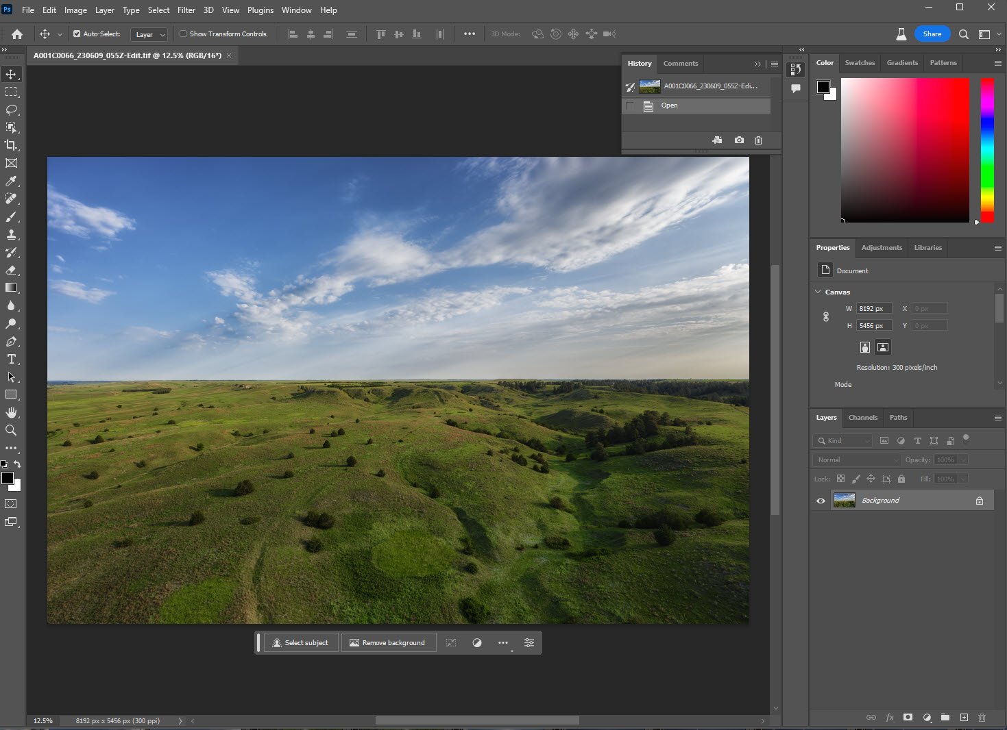
Now that we have some cloud photos to work with, open Photoshop and open the image that you want to Replace the Sky. We’ll be using a nice shot of the Nebraska Sandhills. It has an okay-looking sky, but we can make it look even better!
Step 1 - Open The Image in Photoshop
Step 2 - Drag and Drop one of the Cloud Photos on top
Resize the photo so that it is the same width as your photo, you can do this quickly by holding down the ALT key while dragging on the middle left or middle right points.

Step 3 - Select the Sky of your photo
Click on your base layer, and then go Select -> Sky to have Photoshop identify and select your existing sky.

Step 4 - Create a Layer Mask
With the cloud layer (top layer) selected, click on the create layer mask button.

Step 5 - Unlock the Layer Mask
Click on the little lock icon between the cloud image and the new layer mask; this will allow us to move the sky around until we are happy with how it looks.

Step 6 - Move the Clouds Around
With the sky selected, you can move it with the up/down arrow keys or click and drag until you are happy with how it looks.

All Done
Now you can save or export this photo with the pretty new sky! Here is a before/after photo to show the difference.
